MESA at African Water Week
Human Dynamics team with the Monitoring for Environment and Security in Africa project were at the African Water Week in July 2016
25.07.2016
Human Dynamic’s team who are working with the Monitoring for Environment and Security in Africa supported the MESA stand at African Water week between 18 -22 July in Dar es Salaam, Tanzania.
One of the highlights was sharing a brochure published this month highlighting the project’s success stories.
The stories highlight the wide range of applications and the impact Human Dynamics team are having through the project. The MESA team are supporting 7 regional implementation centers (RICs) to access Earth Observation data.
The International Commission of the Congo-Oubangui-Sangha Basin (CICOS), is one of the seven RICs that Human Dynamic’s MESA team is supporting. Using the Earth Observation data provided, they are measuring surface water elevation to estimate changes in total water volume. This data underpins work around river transportation, sustainable development, water demand management and human health across seven countries.
An additional benefit of the programme has been encouraging inter-regional and intra-country partnerships and fostering collaboration, creating an enabling environment for trans-boundary water resources management.
In Kenya, a country famed for its game reserves, the MESA project is supporting the application of earth observation data to monitoring natural habitat conservation. In contrast prior to the use of satellite imagery, the Kenyan Wildlife Service would have had to physically inspect each protected area, a time consuming activity (Tsavo West National Park alone covers 9,065 km²).
The ability to use satellite data to comprehend the scale and location of environmental issues has been applied successfully in Madagascar Harmful Algal Blooms, mass occurrences of toxic algae can damage fish stocks and potentially kill humans if consumed.
In April 2011, Madagascar suffered such a Harmful Algal Bloom. The Fisheries Institute of Marine Science of Toliara in Madagascar has been able to apply MESA earth observation data retrospectively to analyse how the bloom occurred, and now monitor for future outbreaks to enable early intervention.
MESA’s earth observation data is used also to monitor changes in the composition of crops and plants across Western Africa at the AGRHYMET regional implementation centre, AGRHYMET are also using the data to track wildfires, reducing the danger for observers who in the past had to travel to remote locations to gather information now available in near real time via the MESA’s earth observation data.
MESA’s data is not being used purely to track environmental changes. In Western Africa illegal fishing is a scourge that has damaged major fishing grounds off the coast of Ghana.
The University of Ghana plans to track the activity of Ghana’s fishing fleet. Ghana has 50 commercial fishing craft, 300 inshore fishing vessels and over 9,000 canoes.
By installing transponders and applying computer technology with the satellite imagery and the data from the transponders tracking the vessels, illegal fishing activities will be easier to identify and police.
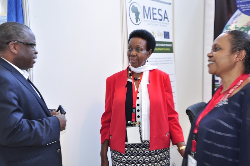
Mrs Rhoda Peace Tumusiime, Commissioner for Rural Economy and Agriculture for the African Union Commission at the MESA stand at African Water week